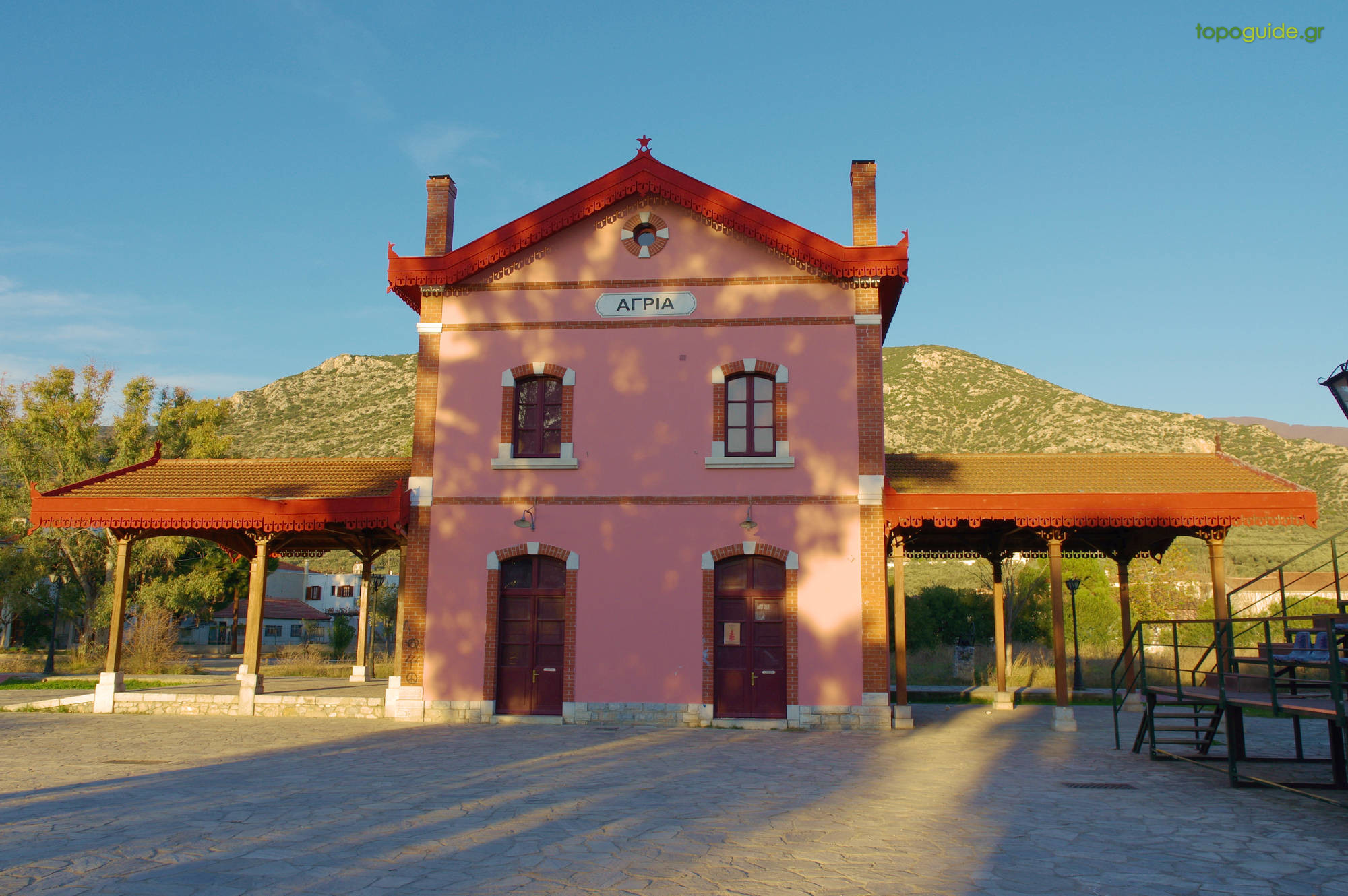
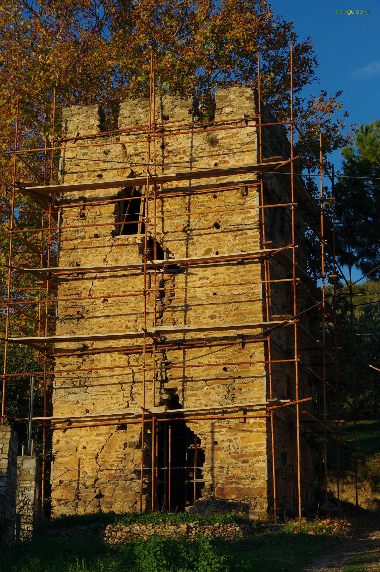
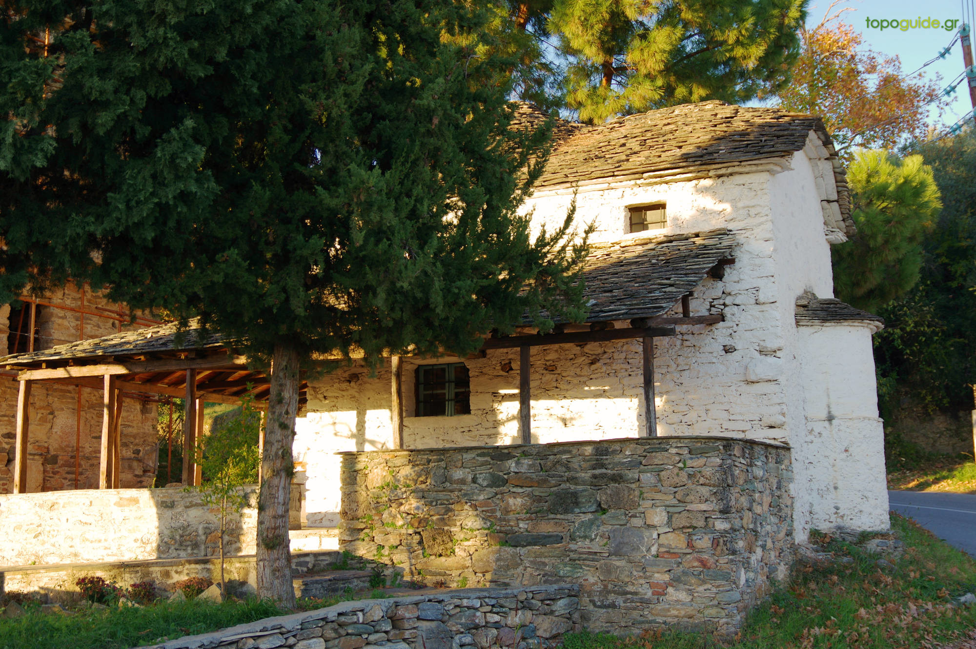
The hike Agria – Agios Lavrentios starts from the sea level and runs through the rural surroundings of the Agria, before ascending to the slopes of Agios Lavrentios. Apart from the old railway station and the bridge of Vrychonas, in the low zone we can rpot the medieval tower of Vrochia, next to the old church of Agios Nikolaos.

|
Difficulty
Medium |
Length
6.8 km |
Ascent
560 m |
Descent
20 m |
Duration
2:50 |
Navigation
Downloads
Tips
- The route is marked with red signs, signs on metal poles and some direction signposts.
Warnings
- No problems have been reported (01/01/2021)


Alli Meria – Agria
Agios Vlasios – Ano Lechonia