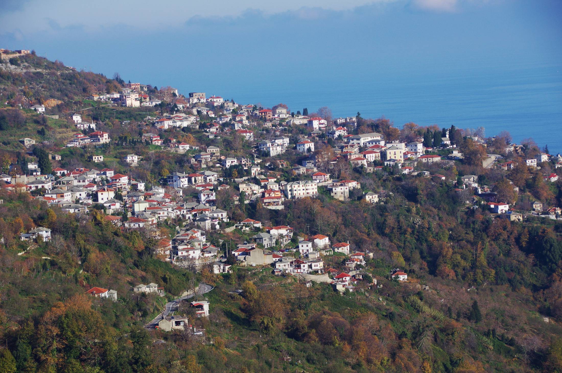
Nowadays, the toponym Pelion has a broad concept and it’s used to describe many more than strictly the mountainous location. The term also refers to the wider area of Magnesia peninsula, its numerous settlements and natural beauties.
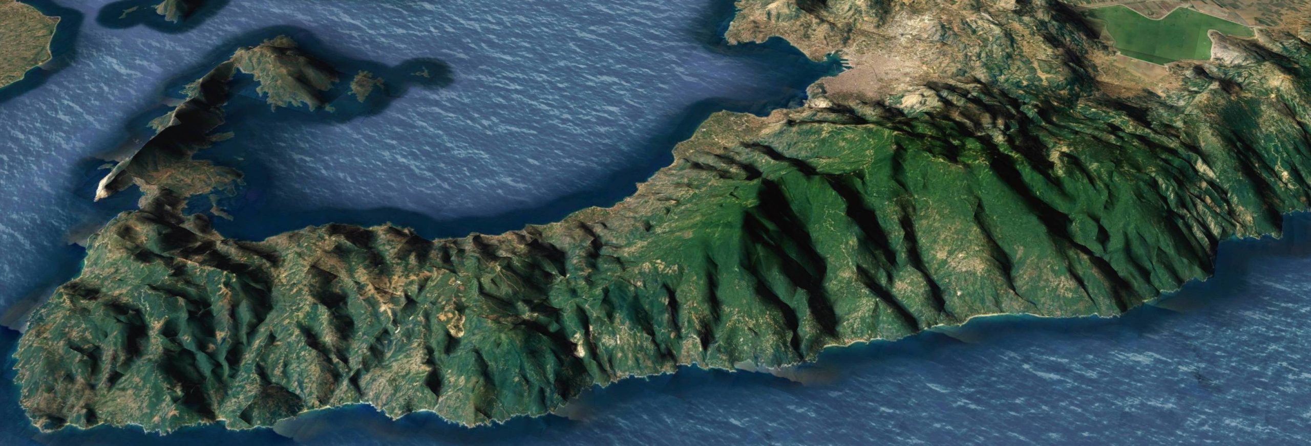
The northward geographical boundary of the cape of Magnesia is mountain Pelion while its ending in the southernmost tip is the more remote and spectacular mountain Tissaio.
Between these two distinctive geographical formations and on both their hillsides to the east and to the west, coastal, lowland and steeper regions have been created through time.
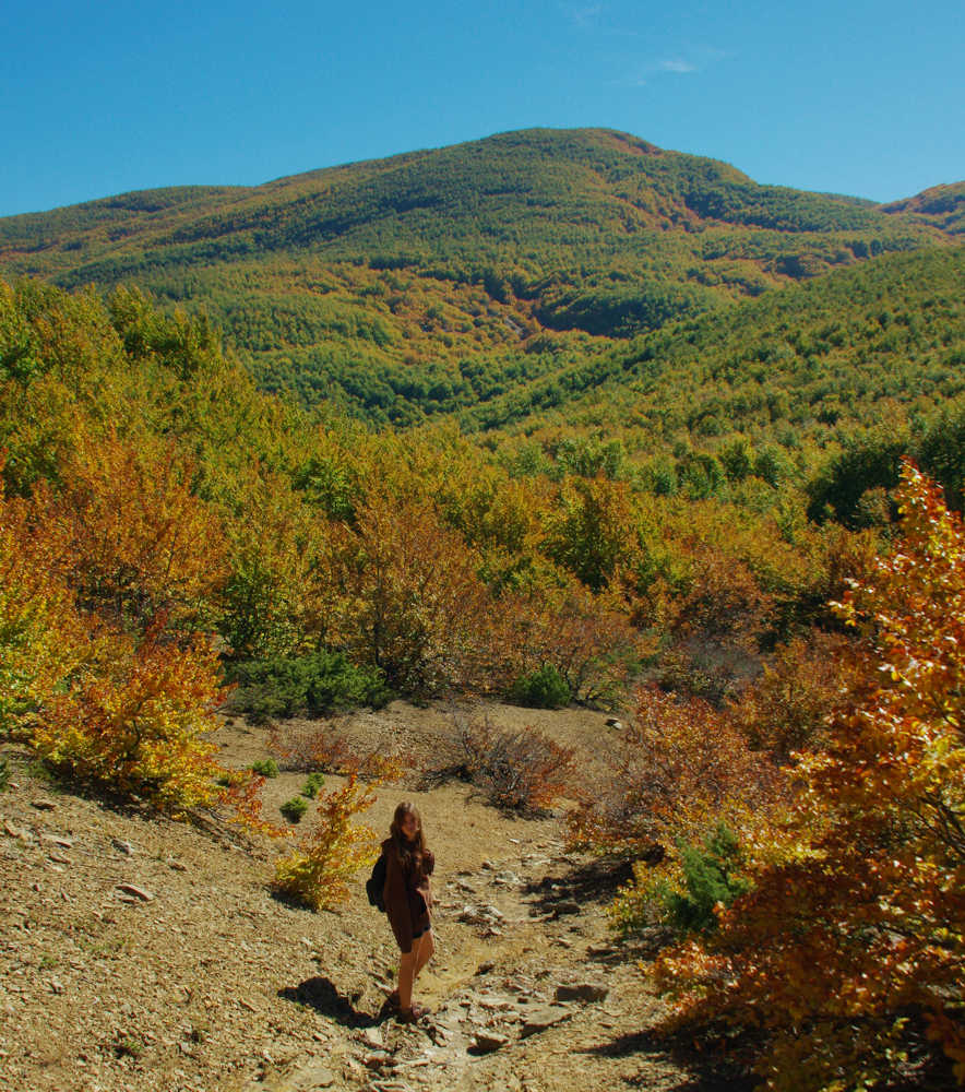
Pelion successfully brings together the welcoming and mild atmosphere of the seaside and low-lying land with the rough and pristine profile of the mountain slopes. The result of this combination is a rich visual experience of different land textures, vegetation shades and scents which make our visit there at any season of the year a memorable aesthetic journey.
Mountain Pelion is part of a greater mountain range which crosses the country starting from the northern boundaries. This geological axis reaches up to Mt. Olympus via the mountains of Central Macedonia and ends via Mt. Ossa and Mavrovounio at Pelion. Thus, the eastward coasts of northern and central continental part of Greece are demarcated.
The rough and impenetrable rocks of Pelion give birth to a relatively soft relief dominated by small inclines. The only exception is the northwestern part, close to the village of Makrinitsa, where limestone is the main rock and steeper slopes can be found. Regarding the highest point of the region, this is Pourianos Stavros, located at an elevation of1624 m. Besides the summit, there are many more lower peaks which also well worth exploring and taking the opportunity to enjoy the spectacular view to the sea. Moreover, on the hard slopes of the highest elevations, there is one of the first-established ski resorts in the country with five skiing pistes, located only two km away from the village of Chania.
Regarding the northern sides of the mountain, they’re mostly of low elevation and one can claim that they’re disappearing smoothly in the Aegean Sea, shaping fertile slopes with colorful orchards. On the coasts of the western side there is also a relatively broad plain zone which hosts the numerous fields and groves.
This low-lying zone has been formed after the ongoing process of sediments deposition. On the contrary, the southern side of the peninsula is much more hilly and abrupt, while continuous geological fragmentations create an unapproachable coastline.
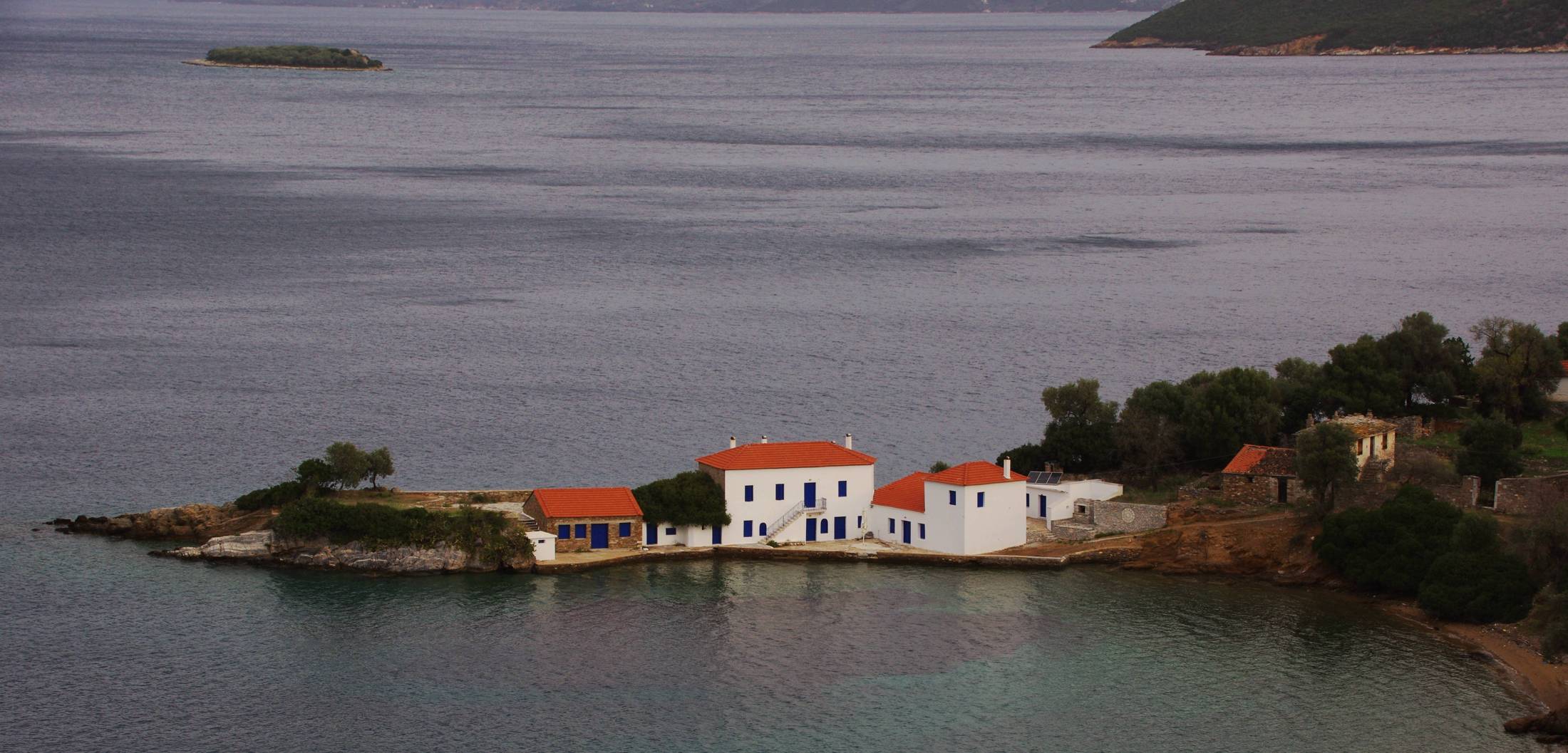
The result of this rough textured relief is the appearance of small and remote beaches of wild beauty, where the visitor can enjoy the clear blue waters, the abundance of aquatic life and the Mediterranean vegetation which “touches” the waves.
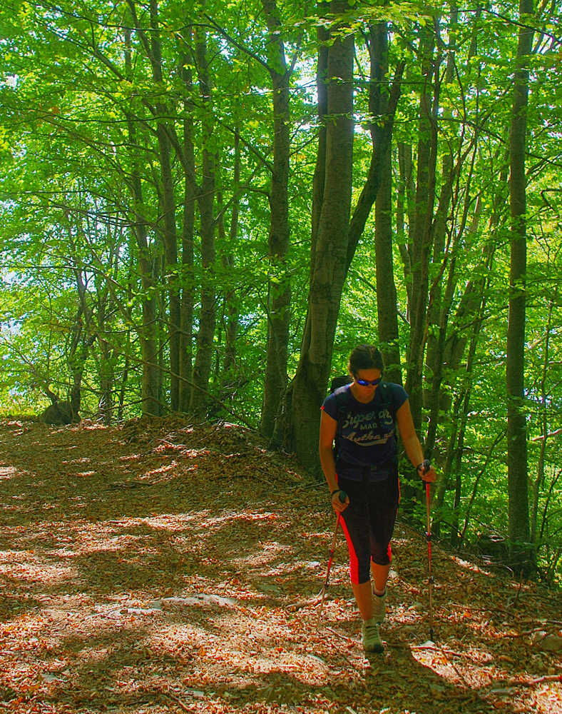
In the heart of all these landscape and rock formations and between the lush vegetation which creates emotionally touching patterns, we discover an extensive network of hiking trails. They cover the whole peninsula of Pelion from the North to the South and from the East to the West, starting from the level of the sea and ending to the rocky forests of the highest elevations.

