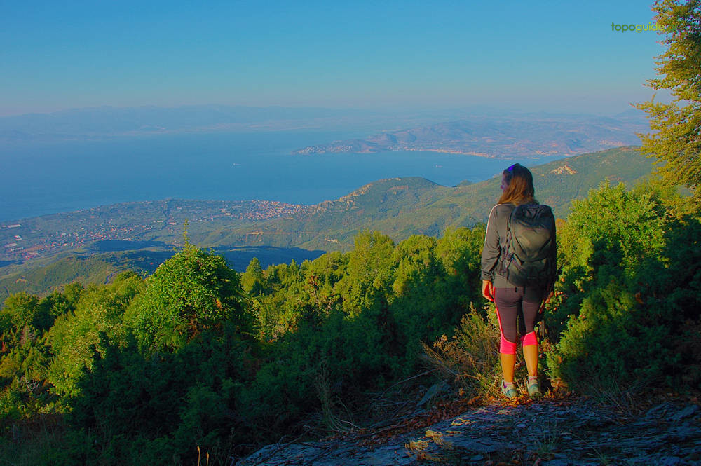
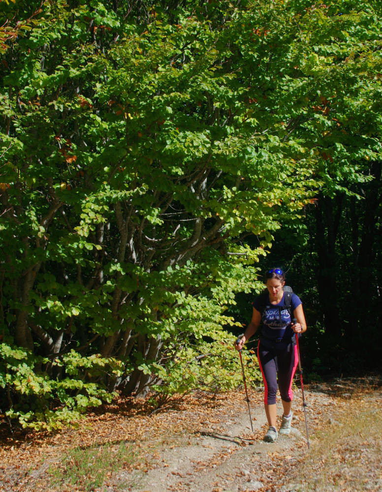
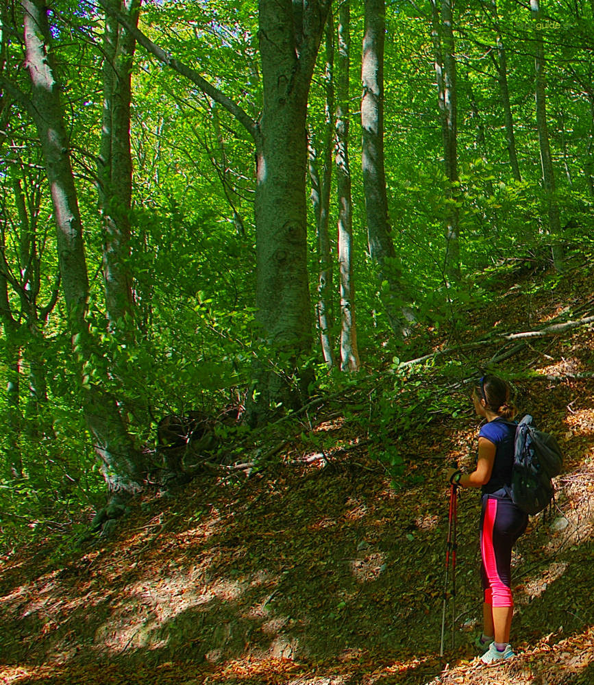
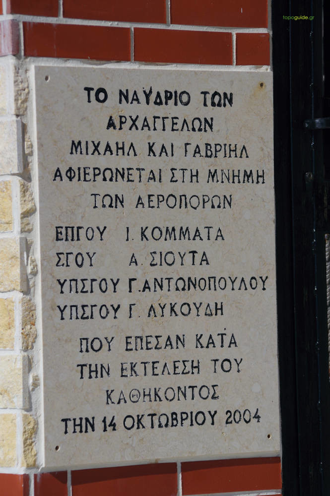
The connection from Agios Lavrentios to Chania is a relatively long and difficult hiking route, with a considerable elevation gain. As a significant part of its length runs along the peaks of Mt Pelion, the route is subject to the weather and snow conditions of the mountain.

|
Difficulty
Medium |
Length
10,2 km |
Ascent
1000 m |
Descent
350 m |
Duration
5:45 |
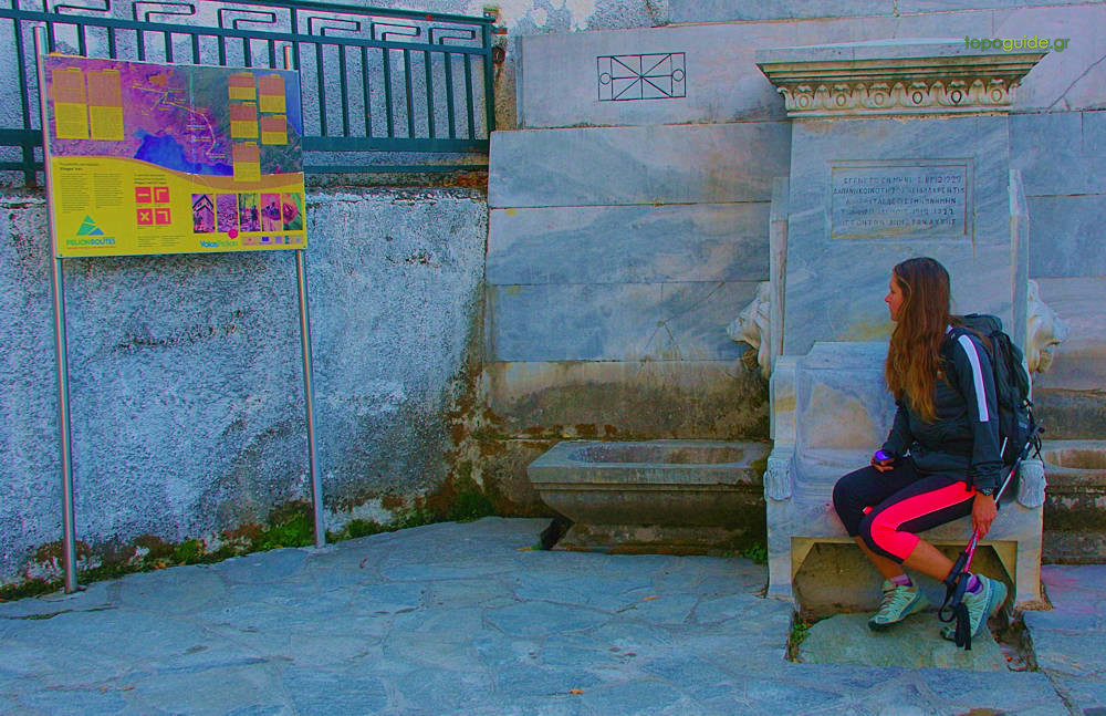
Navigation
Downloads
Tips
- In the Monastiri col converge the paths from Agios Georgios, Agios Lavrentios, Kissos and Chania and begins the ascent to the top of Schitzouravli as well.
Warnings
- This is a long route, which passes higher than 1400 m of altitude, so regardless of the weather conditions at the height of the villages, Golgothas can have mountain conditions: gear up accordingly.